Climate. A research and community-service team from Universitas Negeri Yogyakarta (UNY) has introduced new technology to strengthen landslide mitigation in Kalirejo Village, Kokap, Kulon Progo. Through a 2025 community service grant from the Directorate General of Research and Development, the team developed a digital hazard-mapping system that integrates IoT sensors and deep-learning analysis to help residents and village authorities monitor and respond to landslide risks effectively.
Si Bejo: A Digital Rescue and Mapping Platform
At the center of the initiative is the Si Bejo (Sistem Informasi Bencana Kalirejo) Rescue app. The platform provides a digital hazard map built from IoT-based geotechnical data, displays the location of nearby shelters, and offers automatically generated navigation to the safest evacuation point through Google Maps.
The system stores important geotechnical indicators—such as slope height, width, angle, internal friction angle, soil cohesion, and safety factor—and classifies landslide potential into low, medium, and high categories. This helps local authorities visualize vulnerable areas and prioritize early action.
Deep Learning Strengthens Predictive Accuracy
To improve reliability, the Si Bejo platform uses deep-learning models trained using the sensor data and geotechnical parameters collected in the field. According to the UNY team, this method provides a more accurate assessment of landslide potential and enables faster decision-making during emergencies.
Building Community Awareness
Alongside the technological tools, the team conducted disaster-preparedness training sessions for Kalirejo residents. These sessions were designed to help the community better understand landslide indicators, interpret the risk data inside the Si Bejo application, and follow correct evacuation procedures.
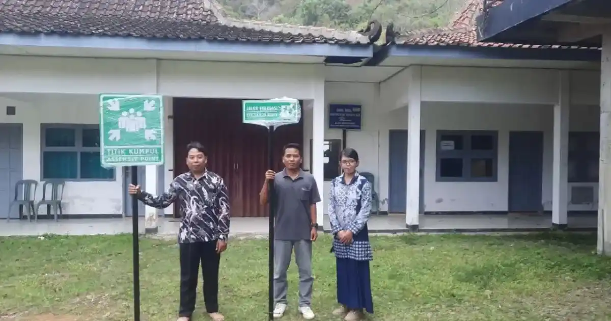
The team also installed physical disaster signage across several key points in the village, marking hazard zones, evacuation routes, and safe gathering spots. Residents and village officials took part in positioning the signs to ensure clarity and long-term use.
Supporting Local Government and Future Plans
The Si Bejo system is expected to support faster and more informed responses by village leaders, disaster volunteers, and security personnel. By combining digital mapping, real-time sensor data, and predictive modeling, the platform strengthens overall resilience in an area frequently threatened by slope failures.
The UNY team plans to continue refining the platform, expanding the sensor network, and scaling the system to nearby villages. With its mix of community engagement and applied technology, the project demonstrates how universities can provide practical solutions to rural disaster-risk challenges.